
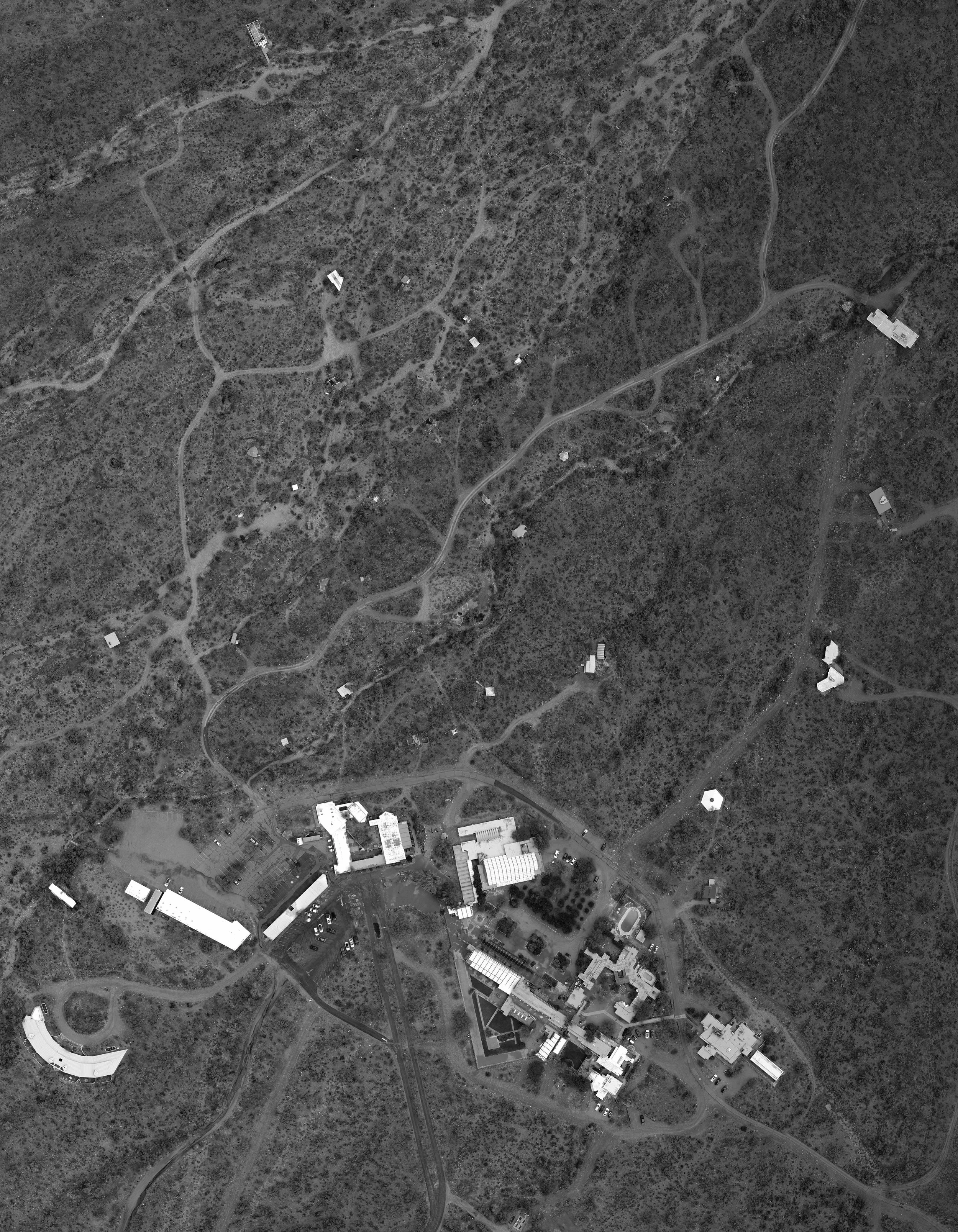
A project done for the Taliesin West Institute, documenting aerial footage with a drone and creating a point cloud model with a map, documenting existing shelter sites for future research.
Contributor(s)
Peter Hall, Matthew Record
A project done for the Taliesin West Institute, documenting aerial footage with a drone and creating a point cloud model with a map, documenting existing shelter sites for future research.
Contributor(s)
Peter Hall, Matthew Record